A few months ago a courier rang the gate next to mine, stood there for ten minutes, called me, sent me a screenshot of his maps app with the pin clearly on the wrong building, and then handed me a package addressed to a flat I’ve lived in for three years. The pin had drifted by exactly one house. I’ve had this happen often enough that I went and worked out why.
The short answer is that maps don’t actually know where every address is. They store enough information to make a good guess and usually they’re right. When they’re wrong, the reason is almost always one of five fairly mundane things, none of them catastrophic, all of them fixable if you know what to look for.
The address itself is being interpolated
When you type a street address into a map, the app does not look up an exact coordinate for that specific house number. It looks up the start and end of the street, sees the house-number range that belongs to it (say 1–199 on the north side, 2–200 on the south), and works out where number 47 should sit by sliding along the line. The technique is called address interpolationand it predates GPS by about a century — surveyors were doing it on paper maps in the 1800s.
It works fine on a tidy suburban street where houses are evenly spaced. It falls apart the moment something irregular happens. A builder skipped a plot. A single big building took the space of four. The block was renumbered in the 1980s and the records still reflect the old layout. The result is the familiar off-by-two-houses problem I started this article with.
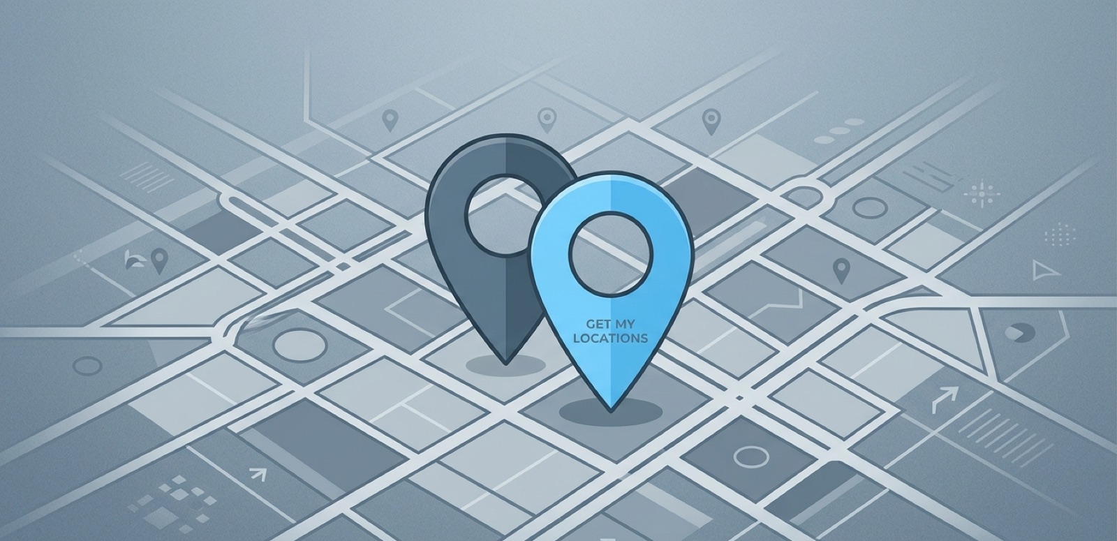
The building outline has the wrong address attached
Modern maps know about buildings, not just streets. Each building has a polygon — an outline drawn on the map — and one or more addresses attached to it. When somebody, somewhere, attached the wrong address to a polygon, the pin sits on the wrong building until someone notices.
This is particularly common where two buildings sit close together and an editor mixed them up. OpenStreetMap and Google fix these when users report them. Most of the time, the wrong pin will quietly correct itself within a few months once enough people have hit the same problem. If it’s your house and you want to push the fix, both services have a “report a problem” button under the map. Mine took three weeks to land after I filed it.
The entrance is on a different side of the building
A corner building has two addresses, one per street, and the map only picks one. If the entrance is around the back, the driving directions will lead you to the correct building but the wrong door, which is exactly as useless as leading you to a different building entirely. I’ve watched delivery drivers stare at a wall for several minutes trying to work out where the bell is.
The workaround that actually works: in the delivery app, type the entrance into the notes field as a sentence. “Entrance is on the side facing the green park, blue door, ring twice.” That sentence does more for the courier than the address ever will.
Your phone’s GPS is drifting, not the map
Sometimes the address is fine and the map is fine and the building outline is correctly tagged. Your phone is the thing that’s wrong. GPS works poorly in tall, narrow streets because the signal bounces off the buildings on either side before reaching you, and the receiver can’t always tell the difference between a direct signal and a reflected one that took a longer path. The effect is called multipath, and it can throw your reading off by 20 or 30 meters. Walk down a street in the financial district of any big city and the blue dot will jump back and forth across the road like it’s having a small breakdown.
Indoors it gets worse. GPS can barely see the satellites through a roof, so the OS falls back to Wi-Fi positioning. If the building’s Wi-Fi access points are not in Google or Apple’s databases — new build, deep basement, rural area — your position can be off by several hundred meters. Open the map outside on the pavement, not inside the lobby, when you’re trying to confirm a location.
The street was added six months ago
New housing developments are a perennial source of wrong pins. The street exists in real life, has signs at both ends, and is lined with houses that have numbers on the gates — but the map won’t catch up for six to twelve months. The map will route you to the nearest road it does know about and then leave you stranded.
The most reliable workaround for new addresses is to skip the address entirely and share the destination as raw coordinates. The courier’s map app will navigate to a latitude and longitude even when it has never heard of the street the coordinates fall on. There is no edge case where coordinates fail and the address works; the reverse happens constantly.
What to do when it actually matters
For ordinary cases none of this is a crisis. The pin is close enough, you find the right door, the package arrives. For cases where it matters — emergency response, important deliveries, picking up a stranger at night — here are the things that consistently work:
- Send a coordinate instead of an address. Open your maps app, long-press the spot, share the coordinate that comes back.
- Add a landmark to the instructions. “The brown gate next to the white car” works better than a house number when the house number is two off.
- For deliveries, write the entrance description into the notes field as a full sentence.
- If you keep getting visitors at the wrong door, report the address position to the map provider once. The fix takes a few weeks but it sticks for good.
Test your own address right now
The quickest way to see how badly your address is mapped is to use the Address Finder. Type in your full address and see where the resulting pin lands. If it’s on the wrong building, you now know why the courier keeps getting confused, and you have the coordinate of where the pin actually is so you can give people a sentence to explain the offset.